Clouds, heat and dust in Greece on Tuesday

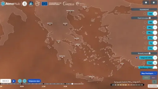
On Tuesday, cloud cover will gradually increase, especially over the mainland and the Ionian Sea. Scattered showers and thunderstorms are expected from the morning hours, primarily affecting the Ionian Islands, as well as the central and northern mainland (excluding Thrace). Elevated levels of Saharan dust will be present in the atmosphere, potentially reducing air quality.
Macedonia & Thrace: 11–29°C
Thessaly: 13–29°C
Epirus: 11–27°C
Central Greece & Peloponnese: 11–30°C
Ionian Islands: 15–25°C
Northern & Eastern Aegean Islands: 13–29°C
Cyclades: 13–28°C
Dodecanese: 14–26°C
Crete: 12–32°C
Temperatures will be above seasonal averages, especially in southern regions such as Crete.
Winds
Northern Aegean: Initially variable at 2–4 Beaufort, shifting to southerly by midday with the same intensity
Central & Southern Aegean: Southerly winds at 2–4 Beaufort
Ionian Sea: Southwesterly winds at 2–4 Beaufort, turning northerly to northeasterly in the
Central and Northern Ionian from the afternoon
Athens
Partly cloudy skies with periods of thicker cloud cover.
Dust concentrations will be elevated.
Winds: Initially northwesterly at 2–4 Beaufort, gradually shifting to southerly by late afternoon.
Temperature: 19–29°C in central Athens.
Thessaloniki
Partly cloudy, with cloud cover becoming denser later in the day.
Rain and possible thunderstorms expected in the afternoon.
Winds: Light and variable early, shifting to southerly to westerly at 2–4 Beaufort, and locally up to 5 Beaufort in eastern parts of the region.
Dust levels will remain elevated.
Temperature: 18–28°C in the city center.