New National Wildfire Risk Map: A modern assessment tool after 45 years

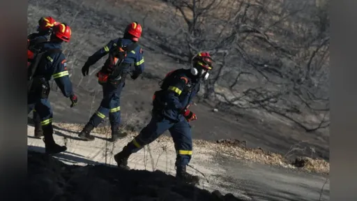
The Minister of Climate Crisis has approved Greece’s new National Wildfire Risk Assessment Map, marking a major reform in the country’s wildfire prevention and response strategy. Based on data spanning the last 20 years, the new map provides a modern and reliable evaluation of fire risk by region. It comes into force following the formal signature of Minister of Climate Crisis and Civil Protection, Giannis Kefalogiannis.
Authorities describe the new map as one of the most significant reforms in the history of Civil Protection, fundamentally transforming how Greece prepares for and deals with wildfires.
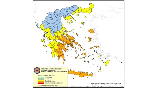
According to Civil Protection, this is not a simple technical update but a structural breakthrough that addresses long-standing weaknesses exacerbated by the climate crisis. Importantly, the National Wildfire Risk Assessment Map differs from the Daily Fire Risk Forecast Map, which is issued during the fire season. Instead, the new map evaluates the overall baseline risk level of each region throughout the country.
This initiative is part of the 25 flagship reforms identified as priorities by Prime Minister Kyriakos Mitsotakis, intended to serve as a foundation for government action and as a national legacy.
Modern Approach Based on New Data
The updated map uses comprehensive data from the past two decades, including vegetation type and structure, climate conditions, and the frequency of high-risk days (Levels 3, 4, and 5) recorded in daily forecasts. For the first time, Greece gains a precise and comprehensive picture of the real wildfire risk across different areas, moving beyond the simplified classifications of previous decades.
Municipalities are now categorized into three levels of risk—low, medium, and high. Risk assessment is performed at the municipal level rather than the regional unit, enabling more accurate planning, targeted prevention measures, and fairer resource allocation. As a result, high-risk areas can receive the tools and funding they genuinely need.
A New Model for Civil Protection
This major upgrade marks the shift to a new Civil Protection model that prioritizes not only emergency response but also early understanding of risk. The updated map reflects the reality shaped by the climate crisis: more frequent heatwaves, increased drought, and a greater number of high-risk fire days.
The new system enables the Fire Service to deploy forces based on scientific criteria, while fuel-reduction and fire-prevention projects can now be prioritized using real risk data. Municipalities gain a clear framework for prevention works, infrastructure planning, and personnel reinforcement. Public funding for Civil Protection can now be directed where risk is demonstrably higher.
Foundation for Broader Climate Resilience
Civil Protection emphasizes that this reform goes beyond wildfire management. Areas affected by fires are often vulnerable to secondary hazards, such as floods or erosion. The new mapping system enables the state to take proactive measures in these areas as well.
With this reform, Greece enters a new era in which Civil Protection does not simply react to events but works to predict and prevent them. The country now has a modern tool that presents a realistic picture of risk and supports evidence-based planning. It marks a profound shift toward a more prepared, better protected, and more climate-resilient Greece.