Greece set for cooler August 15 holiday as strong meltemi winds drive temperatures down

According to ERT meteorologist Anastasia Tyraski, the temperature will begin to decline gradually from Thursday as cooler air masses move south from northern Europe. The drop will become particularly noticeable on Friday and Saturday, bringing significantly cooler conditions for the August 15 holiday.
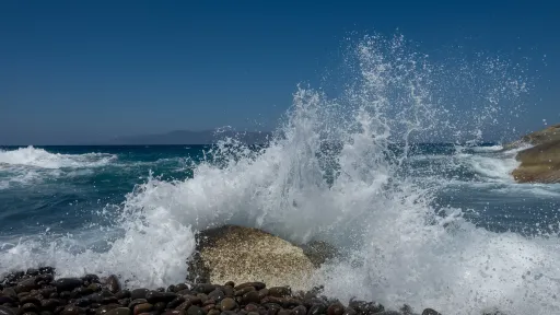
The main concern in the coming days, however, will be the strengthening winds. Meltemi winds are expected to reach 8 Beaufort, while gusts in the Aegean could potentially reach 9 Beaufort on Friday.
The strong winds could disrupt ferry services, particularly during the peak travel period around the August 15 holiday and the first wave of returning holidaymakers.
Strong meltemi winds dominate the Aegean
Monday will remain generally sunny, with limited cloud cover. Cloudiness is expected in the Cyclades and northern Crete due to the prevailing northerly winds, while limited atmospheric instability could develop over mountainous areas of central and northern mainland Greece.
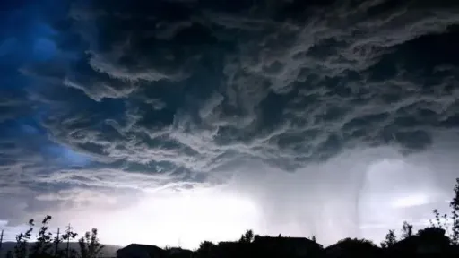
Localized showers and isolated thunderstorms may occur during the afternoon, particularly over the mountains of Central Greece, Epirus and Macedonia, with the Pindus region expected to see the greatest chance of storms. The weather phenomena are expected to be brief and localized.
The strongest winds will be recorded in the Aegean, where northerly winds are reaching 8 Beaufort, particularly around the Kafireas Strait, affecting southern Euboea and the northern Cyclades. Andros and Tinos are expected to experience particularly strong winds.
Winds elsewhere in the Aegean will reach 6-7 Beaufort, while strong winds are also expected in Crete. Due to the island’s terrain, gusts in parts of southern Crete could locally reach 8 Beaufort.
Conditions will be calmer in the Ionian Sea, although winds will strengthen during the afternoon and locally reach 5 Beaufort, particularly around Kefalonia and Ithaca.
Temperatures still reach 39C
Despite the strong meltemi, temperatures will remain high in several parts of Greece on Monday.
Western mainland Greece and western and southern parts of the Peloponnese could see temperatures reach 38C and locally 39C. Maximum temperatures will reach around 36-37C in northern Greece and approximately 37C in southern Crete.
The Aegean will be considerably cooler, with temperatures around 30C in the northern Aegean and the Cyclades due to the meltemi. The Dodecanese will remain warmer as hot air masses move in from Türkiye.
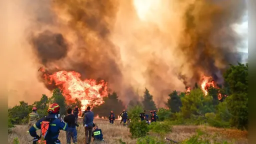
Tyraski warned that although the meltemi can provide natural cooling, it can also become hot and dry in some areas because of downslope winds. Combined with high temperatures, these conditions increase the risk of wildfires.
A large part of Greece is currently under an orange-level fire danger alert, requiring increased vigilance.
Weather in Athens and Thessaloniki
In Athens, mostly sunny conditions are expected, with northerly winds reaching 7 Beaufort in eastern areas and 5-6 Beaufort elsewhere. The winds will keep temperatures lower, with highs of 35-36C in southern parts of the city and lower temperatures in the north and east.
In Thessaloniki, limited atmospheric instability could produce clouds and localized showers over surrounding mountainous areas during the afternoon, although significant rainfall is not expected in the city itself. Winds will initially be light before a southeasterly sea breeze develops in the afternoon, reaching up to 4 Beaufort. Temperatures will reach around 34C.
Cooler conditions arrive ahead of August 15
The meltemi will remain strong on Tuesday but will ease somewhat compared with Monday, with Aegean winds reaching 6-7 Beaufort. Strong winds will continue around the northern Cyclades, southern Euboea and areas near Attica.
Wednesday will bring a similar pattern, with strong meltemi winds locally reaching 8 Beaufort around the northern Cyclades, southern Euboea and near Attica.
The major shift is expected from Thursday, when changes in atmospheric circulation will allow cooler air masses to move into Greece.
By Friday, temperatures are expected to fall significantly, reaching approximately 30-32C in eastern mainland Greece and around 30-36C in western parts of the country.
At the same time, the meltemi is expected to strengthen considerably, with winds potentially reaching 9 Beaufort in the Aegean. Authorities and travelers may therefore face disruptions to ferry services during one of Greece’s busiest holiday travel periods.
The winds are expected to gradually weaken afterward, while August 15 and the following weekend are forecast to be considerably cooler than the very high temperatures recorded in recent days.