Greece braces for warmer weather, rain and southerly winds as temperatures reach 25°C

Greece is set for a significant change in weather this week, with rising temperatures, strengthening southerly winds and periods of rain following the relatively cold conditions of recent days.
According to meteorologist Olga Papavogli, the gradual dominance of southerly winds will transport warmer air masses from North Africa towards Greece, pushing temperatures above seasonal averages, particularly from Wednesday onwards.
Maximum temperatures are expected to reach 24-25 degrees Celsius in some areas, while increased humidity, cloud cover and local rainfall will remain key features of the weather pattern.
Rainfall is expected to be more frequent in western Greece and across the Aegean, where isolated thunderstorms are also forecast.
A mild concentration of African dust is also expected to reach the country towards the end of the week.
Monday: Rain spreads from west to east
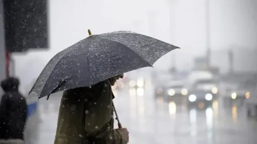
A shallow low-pressure system moving eastwards from Italy is expected to bring rain to several parts of Greece on Monday.
Showers will initially affect western regions before spreading towards central and northern Greece. Rainfall is also expected to reach the northern Aegean by the evening.
Most areas will experience relatively light and moderate rainfall. However, heavier and more persistent showers, accompanied by isolated thunderstorms, are forecast in the Ionian Sea and western coastal regions.
Lefkada, Kefalonia, Agrinio, Corfu, Paxos and the western coastal areas of Epirus are among the regions expected to receive notable amounts of rain.
Northern winds in the Aegean will weaken to 3-4 Beaufort, gradually turning southerly, while southern winds in the Ionian may reach 6 Beaufort before weakening.
Temperatures will rise slightly in southern and eastern Greece, reaching 15-17 degrees Celsius, while colder conditions will persist elsewhere, particularly in the northwest.
Tuesday: Temperatures rise to 24°C
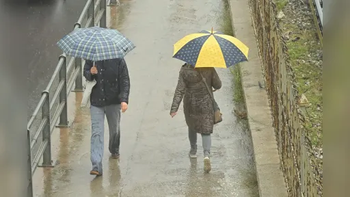
Clouds will increase at intervals on Tuesday, bringing scattered showers to western Greece and more frequent rainfall across the Aegean.
The eastern Aegean islands and the Dodecanese are expected to experience the most significant rainfall, with isolated thunderstorms possible in the southeastern Aegean.
During the evening, cloud cover will increase in western and northwestern Greece, bringing further showers and local thunderstorms to the northern Ionian.
Southerly winds will generally reach 4 Beaufort, while westerly winds in southern maritime areas may reach 5 Beaufort.
Temperatures will rise noticeably, particularly in eastern, southwestern and southern Greece, with maximum values reaching 20-22 degrees Celsius. In southern Peloponnese, temperatures could locally reach 23-24 degrees.
In Attica, temperatures are expected to climb to around 20-21 degrees Celsius, compared with approximately 15 degrees in recent days.
Wednesday: Unseasonably warm conditions and thunderstorms
Wednesday will bring generally cloudy conditions across much of the country, with increased cloud cover and scattered showers.
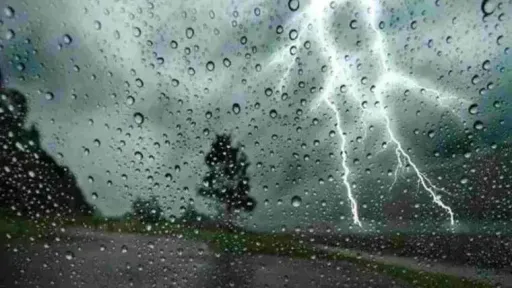
Western and northwestern Greece will experience more frequent rainfall, while thunderstorms are expected in the Ionian, some of which could be locally strong.
Showers and isolated thunderstorms are also forecast along western coastal areas.
In the Aegean, rainfall will be more widespread in southern and southeastern areas, where local thunderstorms are expected.
Southerly winds will strengthen to around 5 Beaufort, bringing additional moisture into the country.
Temperatures will remain above seasonal averages, reaching around 20 degrees in several regions and exceeding 24 degrees locally in eastern and southern Greece.
Thursday: Stronger southerly winds and temperatures up to 25°C
The generally unsettled weather pattern will continue on Thursday, with scattered clouds across most of the country.
Clouds will become denser in western Greece and the eastern islands, bringing local showers. More significant rainfall and occasional thunderstorms are expected across the Aegean, particularly in southern and southeastern island areas.
Southerly winds will strengthen further, gradually reaching 6-7 Beaufort, particularly as Friday approaches.
Temperatures will remain unusually high for the season, exceeding 20 degrees in several areas and potentially reaching 24-25 degrees in eastern and southern Greece.
Friday: African dust and stronger southerly winds
A new low-pressure system is expected to develop over North Africa towards Thursday and Friday before moving northeastwards.
According to current forecasts, the system is not expected to cause a major deterioration in weather conditions across Greece in terms of rainfall.
However, its movement will favour a significant strengthening of southerly winds, particularly on Friday, creating conditions for the transport of warmer air masses from North Africa.
The same circulation is expected to carry moderate amounts of African dust towards Greece, mainly towards the end of the week.
Overall, the main weather characteristics will be higher-than-normal temperatures, stronger southerly winds, increased humidity and periods of rain, particularly in western Greece and the Aegean.