High wildfire risk across large parts of Greece

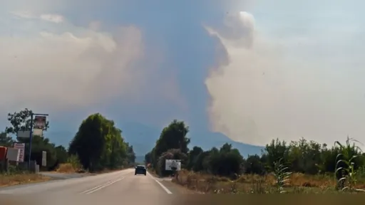
Large parts of Greece have been placed under a high wildfire risk alert as authorities warn that dry thunderstorms and lightning strikes could trigger fast-moving fires in forested areas.
According to the Wildfire Risk Forecast Map issued by the General Secretariat for Civil Protection under the Ministry of Climate Crisis and Civil Protection for Thursday, July 2, 2026, several regions have been classified as Category 3 (High Risk), marked in yellow on the official map.
Regions under high alert
The warning covers Attica, including the island of Kythira, as well as parts of Central Greece such as Evia, Boeotia and Phthiotis. Large areas of the Peloponnese, including Corinthia, Argolis, Laconia, Messenia, Elis and Achaia, are also affected.
Other high-risk zones include Western Greece, the Ionian Islands (Zakynthos, Kefalonia, Ithaca and Lefkada), much of Crete (Chania, Rethymno and Heraklion), and islands in the southeastern Aegean.
Most remaining areas of the country are under Category 2 (Moderate Risk), though authorities say nationwide vigilance remains necessary.
Lightning and dry storms raise concern
Civil Protection officials highlighted the risk posed by dry thunderstorms, a weather phenomenon in which lightning occurs without significant rainfall, increasing the likelihood of ignition in forests and remote areas.
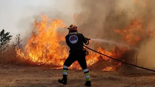
Authorities said such conditions can lead to fires starting in difficult-to-access locations, complicating early response efforts and increasing reliance on aerial firefighting resources.
Public urged to exercise caution
The General Secretariat for Civil Protection has urged residents to avoid any activity that could accidentally spark a fire, including burning vegetation, using equipment that produces sparks, discarding cigarettes or operating outdoor barbecues.
Members of the public are advised to report any wildfire immediately to the Fire Service at 199 or via the European emergency number 112.