Double wave of bad weather to hit Greece with rain, gale winds, and temperature drop

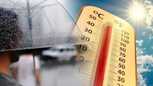
Greece is bracing for two consecutive waves of bad weather starting Sunday, bringing heavy rain, thunderstorms, strong winds, and a temporary drop in temperatures. According to meteorologists, the unsettled conditions will ease by the end of next week, with sunshine and warmer weather expected to return.
Two weather fronts incoming
The first front will affect western and northern regions on Sunday, gradually spreading eastward through Monday. Forecasts indicate rainfall and isolated storms in Epirus, Western Sterea, and Macedonia, extending later to Thessaly and Central Greece.
The second front, considered more severe, will arrive Wednesday night and last through Thursday, bringing heavy rain, thunderstorms, and possible hail, especially in western Greece, Thessaly, Macedonia, and parts of the eastern Aegean. Winds will intensify, and temperatures will again dip, particularly in mountainous areas.
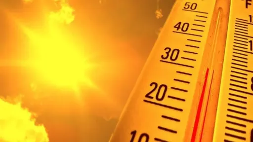
Despite the turbulent week, meteorologists predict a return to sunshine and milder weather. Temperatures could rise to 5–6°C above seasonal norms.
Today’s forecast
Today’s conditions remain unstable, particularly in western and northern Greece, with local showers and isolated thunderstorms.
Temperature ranges for Saturday:
Western Macedonia: 7–19°C
Rest of Macedonia & Thrace: 11–21°C
Thessaly: 12–22°C
Epirus: 11–22°C
Rest of mainland Greece: 13–25°C
Ionian Islands: 17–21°C
Aegean Islands: 11–24°C
Crete: 13–25°C
Winds: 2–4 Beaufort, northwesterly inland and southerly in eastern regions.
Sunday Outlook – October 19
Unstable weather will continue across much of the country. Crete and the Dodecanese will see increasing cloud cover after midday, while Epirus, Macedonia, and Thrace will experience scattered showers. Thunderstorms may develop in the southern Ionian and Peloponnese, potentially becoming locally intense.
Safety advice
Authorities urge the public to stay alert, especially in areas forecast to receive severe storms. Travel through mountainous or flood-prone areas should be avoided. Updates will be provided by the National Meteorological Service (EMY).