Greece on high fire alert as wildfire risk remains elevated

Authorities have placed Attica and the regional units of Evia, Chios and Lesvos under a Red Code alert on Wednesday after forecasting a very high wildfire risk, while firefighters continued to contain a major blaze that spread from Boeotia into western Attica.
According to the General Secretariat for Civil Protection, the affected regions face a Level 4 fire risk, prompting authorities to place emergency services and local governments on heightened alert.
The public has been urged to avoid activities that could spark fires, including lighting bonfires or barbecues, using machinery that generates sparks and discarding lit cigarettes.
Firefighters make progress in western Attica
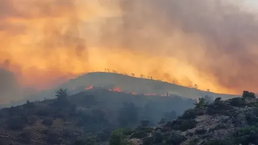
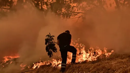
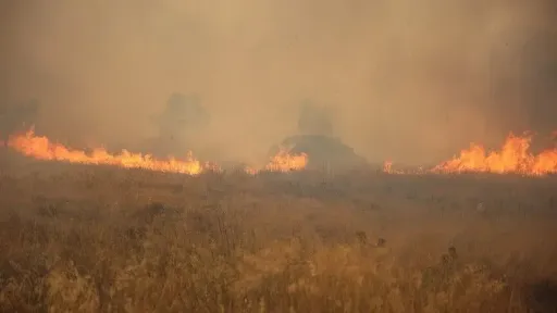
The wildfire that crossed from Boeotia into western Attica showed significant improvement on Wednesday morning after firefighters worked through the night to contain flare-ups and extinguish smouldering hotspots.
Firefighting efforts remained focused on the areas between Psatha and Loumba, toward Kandili and Megara, and around Agia Paraskevi and Agios Nektarios.
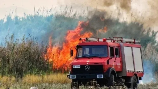
Four firefighting helicopters resumed water drops at first light, while strong ground forces remained deployed. Authorities stressed there was no room for complacency despite the improved situation.
The operation has been supported by regional authorities, the forestry service, municipalities, the armed forces, police, ambulance services and volunteer firefighters.
WWF estimates more than 20,000 hectares burned
Environmental organisation WWF said preliminary satellite data indicate that more than 18,000 hectares have already been burned by major wildfires in Crete, Paros, southern Boeotia and western Attica since late July.
As assessments continue in other affected areas, the organisation estimates the total burned area could exceed 20,000 hectares.
The fires have forced more than 10,000 residents and tourists to evacuate and caused extensive damage to homes, agricultural facilities, olive groves, crops, infrastructure and local businesses.
WWF warned that although Mediterranean shrubland and pine forests have a natural ability to regenerate after fire, repeated wildfires, prolonged drought, soil erosion and overgrazing could permanently damage ecosystems, particularly in areas that have burned more than once within the past two decades.
Attica has lost 42% of forests to wildfires over the past decade, Meteo data show
Fifteen major wildfires that broke out from 2017 to 3 August 2026 have burnt more than 80,000 hectares in Attica, according to data from the Copernicus Rapid Mapping Service and the European Forest Fire Information System (EFFIS).
According to data presented by meteo.gr of the National Observatory of Athens, the total area of the Attica Region (excluding Troizinia, the islands and the Athens Basin) amounts to 250,000 hectares. This means that, over the past decade, wildfires have affected 32% of the region's total area.
In the Attica Region, forested land covers approximately 123,000 hectares. Over the past ten years, around 51,200 hectares of forest have been burnt, representing 42% of the total forested area.
It should be noted that, until shortly before the start of the 2026 fire season, 38% of Attica's forests had already been affected by wildfires over the previous nine years. The latest update follows the major wildfire that recently broke out in Porto Germeno.
Source:AMNA