Storms and flooding threaten Greece
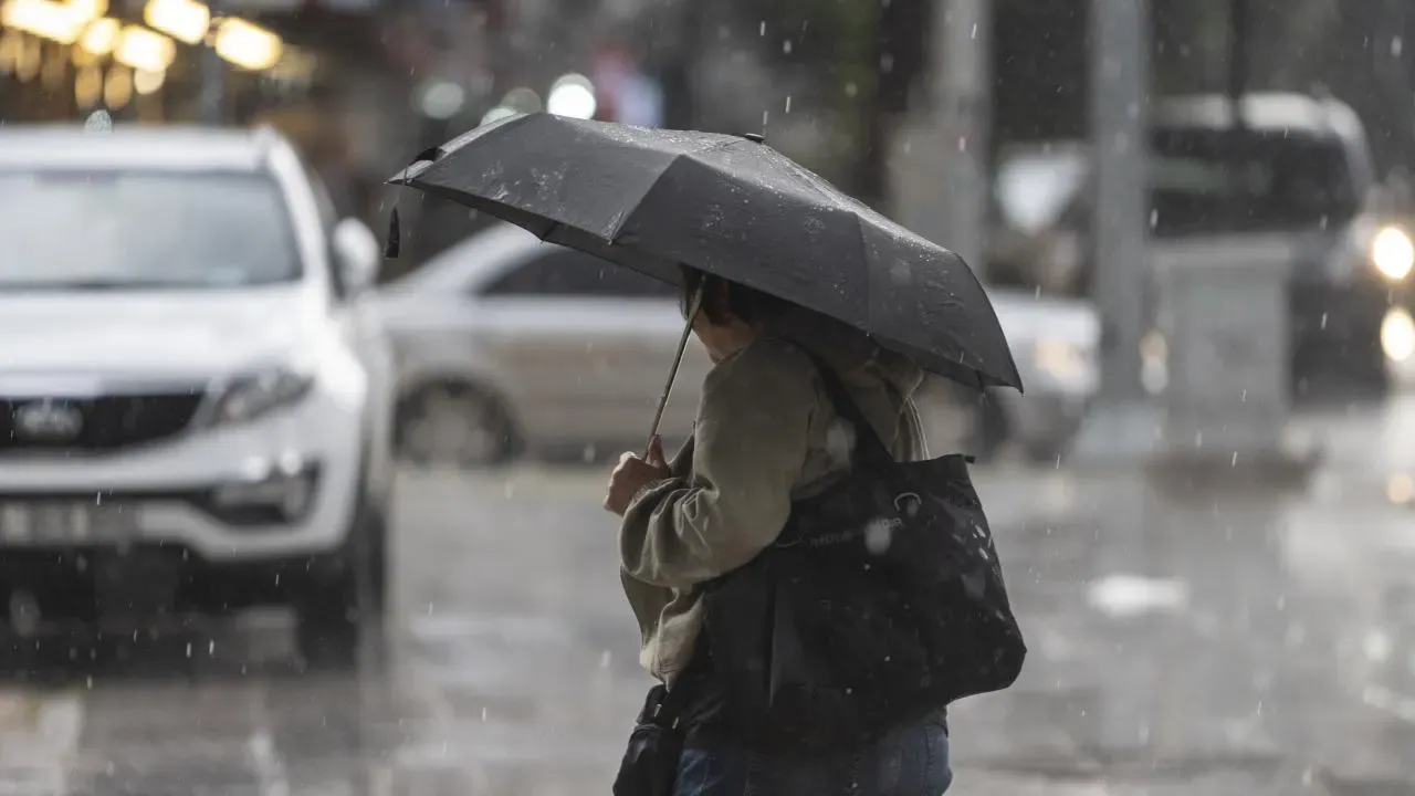
Greece is heading into a sharp change in weather, with heavy rain, thunderstorms and an increased risk of flooding expected across several parts of the country from Wednesday.
Meteorologist Klearchos Marousakis warned that the developing weather system could produce large amounts of rainfall, particularly in southern Greece, creating potentially dangerous conditions.
Temperatures will also fall, with daytime highs generally ranging between 28 and 33 degrees Celsius over the coming days.
Southern regions face highest risk
A low-pressure system is expected to move near Crete, bringing heavy rain and thunderstorms to southern parts of the country.
Particular caution is advised in the Peloponnese, southern Ionian Sea, Crete, the Cyclades and the Dodecanese.
Marousakis warned that the risk of flooding will remain high through Thursday, with Crete facing the greatest threat.
The meteorologist also cautioned about strong winds around the developing system, which could locally reach gale force.
Heavy rain expected from Tuesday
According to the Meteo forecast, rain and thunderstorms are expected mainly in western Greece and Crete on Tuesday.
The strongest conditions are expected during the afternoon and evening in western Greece, the Peloponnese, the Ionian Islands and western Crete. Storms are also possible in mountainous areas of central Greece and Macedonia.
Rain and thunderstorms are expected to intensify in Crete and the southern Peloponnese during the evening.
Dust concentrations in the atmosphere are also expected to decline from the early morning hours.
Temperatures begin to fall
Temperatures will range from 11 to 25 degrees in western Macedonia, 11 to 29 degrees in the rest of Macedonia and Thrace, and 11 to 30 degrees in Epirus.
Central mainland areas will reach around 31 degrees, while temperatures in the Peloponnese and Crete will range between 11 and 30 degrees.
Northern and northwestern winds of 4 to 5 Beaufort are expected in the Aegean, while winds in the Ionian will remain generally light.
Athens could see evening storms
In Athens, cloudy conditions are expected for much of the day, with rain developing from midday.
The rain could temporarily become heavy during the evening and may be accompanied by thunderstorms.
Temperatures in the capital will range from 15 to 29 degrees, with the weather expected to improve from Wednesday.
Showers possible in Thessaloniki
Thessaloniki will see cloudy conditions from the morning, with a chance of showers during the afternoon.
Winds will remain light, mainly from southerly directions, while temperatures are expected to reach around 30 degrees.
Conditions worsen on Wednesday
The most significant weather activity is expected on Wednesday in the southern Ionian Sea, southern Peloponnese, Cyclades, Crete and Dodecanese.
Crete is expected to face a particularly high risk of flooding as the low-pressure system passes through the region.
By Thursday, the system is expected to move away, with unsettled conditions becoming concentrated mainly over the southeastern Aegean.
More stable weather should follow, although some instability is expected to persist.
Autumn pattern takes hold
Further weather systems approaching from the west could bring additional unsettled conditions in the following days.
Temperatures are expected to remain below recent summer levels, with highs generally between 30 and 33 degrees and northerly winds dominating, particularly around the Aegean.
Marousakis said autumn is now “knocking on the door,” warning that the warm seas could increase the potential for intense rainfall and flooding, particularly across southern Greece.